


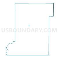
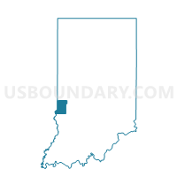
01-C, Vigo County, Indiana
About
Outline

Summary
| Unique Area Identifier | 581057 |
| Name | 01-C |
| County | Vigo County |
| State | Indiana |
| Area (square miles) | 0.11 |
| Land Area (square miles) | 0.11 |
| Water Area (square miles) | 0.00 |
| % of Land Area | 100.00 |
| % of Water Area | 0.00 |
| Latitude of the Internal Point | 39.45790130 |
| Longtitude of the Internal Point | -87.41123750 |
Maps

Graphs
Select a template below for downloading or customizing gragh for 01-C, Vigo County, Indiana


Neighbors
Neighoring Voting District (by Name) Neighboring Voting District on the Map
- 01-A, Vigo County, IN
- 01-D, Vigo County, IN
- 02-C, Vigo County, IN
- 02-E, Vigo County, IN
- 05-C, Vigo County, IN